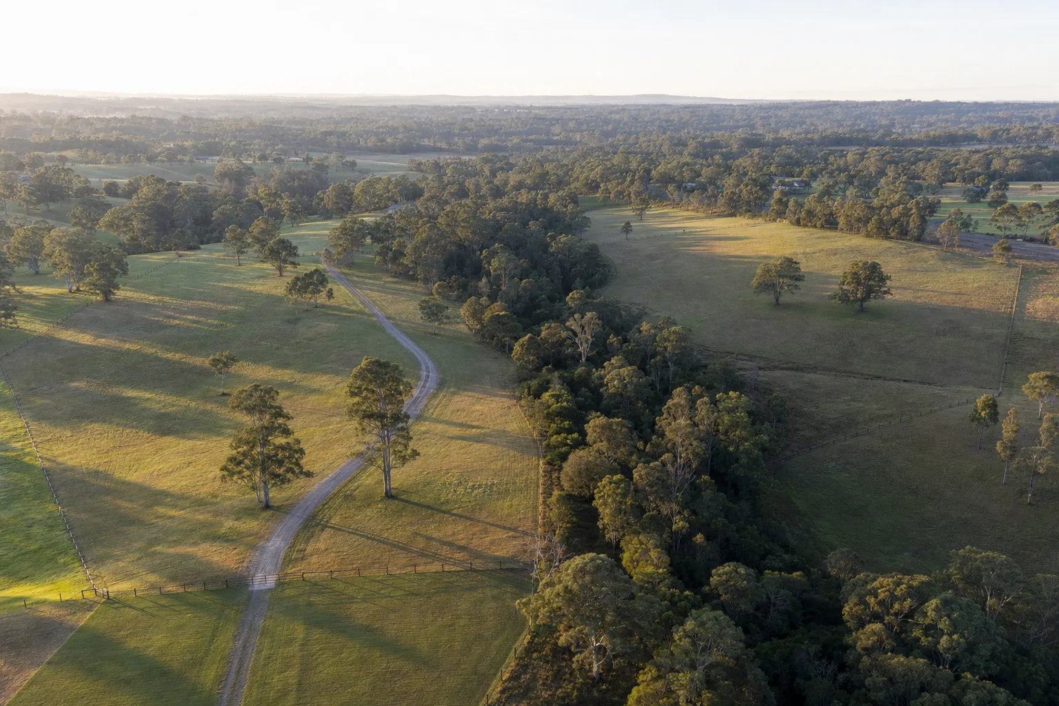
The Biodiversity Offsets Scheme: What the Trees on Your Block Can Cost You
Native vegetation is the one cost line on a subdivision that can arrive without warning and without an upper bound. Three separate triggers can pull a project into the NSW Biodiversity Offsets Scheme, and two of them are decided by mapping you can check for free before you spend anything.
A woman rang us about four hectares behind Nowra she'd owned since the eighties. Three lots was the plan, which the zoning supported, and she'd already had a surveyor walk it and say it looked straightforward. Flat enough, road frontage, power at the boundary. She wanted to know what it would cost to get it done.
The first thing we do on any rural or large-lot site is open the vegetation mapping, and about half her land came up green. Not a heritage listing, not a bushfire overlay, just biodiversity values mapped over the paddock trees and the strip along the creek. That mapping doesn't stop a subdivision. What it does is drag the project into the Biodiversity Offsets Scheme, and once you're in the scheme, you have an assessment to commission, a credit obligation to acquire, and a cost line that nobody can quote you until the assessment is done.
She'd budgeted about $180,000 for the whole subdivision. The offsets question on its own had a wider range than that.
Three doors into the scheme, and you only need to walk through one
The scheme sits under the Biodiversity Conservation Act 2016 and the regulation made under it, and for ordinary local development there are three ways in.
The first is the Biodiversity Values Map. Land shown on that map is in the scheme automatically, regardless of how much vegetation you actually propose to remove. This is the trigger that catches people, because it is binary and it is decided by a state-level map layer rather than by anything you do on site. You can be inside the scheme before you've drawn a single lot boundary.
The second is the area clearing threshold. Clear more native vegetation than the threshold that applies to your land and you're in. And the threshold is not a fixed number, which is the part people misremember. It steps with the minimum lot size shown in your council's lot size map, not with the actual size of your parcel:
- minimum lot size under 1 hectare: 0.25 ha of clearing
- 1 hectare to under 40 hectares: 0.5 ha
- 40 hectares to under 1,000 hectares: 1 ha
- 1,000 hectares and over: 2 ha
Read that carefully if your land carries more than one minimum lot size, because it's the smallest one that governs. A parcel straddling two lot-size bands takes the tighter threshold across the whole thing. And where the LEP sets no minimum lot size at all, the actual lot size is used instead.
The third door is the test of significance. Even if you're clear of the map and under the threshold, if the proposal is likely to significantly affect a threatened species or ecological community, the scheme applies anyway. That one is a judgement call made by an ecologist and accepted or not by the consent authority, which means it is the least predictable of the three and the one most likely to appear late.
Two of those three, you can check yourself, today, for nothing. The department's Biodiversity Values Map and Threshold Tool will tell you whether your land is mapped and help you estimate whether a clearing footprint crosses the threshold. We run it on every site with trees on it before we run anything else, because the answer changes what the rest of the exercise is worth.
What being in the scheme actually involves
Once the scheme applies, you need a biodiversity development assessment report, universally called a BDAR, prepared by an assessor accredited to apply the Biodiversity Assessment Method. That's not a desktop job. It involves field survey, plot data, vegetation typing, and in some cases seasonal survey windows, which is where the calendar starts working against you. Miss a survey season for a species that can only be looked for in spring and you are not waiting weeks. You are waiting for spring.
The BDAR produces a credit obligation: a number of ecosystem credits and species credits the project has to retire to proceed. You discharge that obligation either by buying and retiring credits of the right class on the market, or by paying into the Biodiversity Conservation Fund at the published rate for those credits.
Here's the part owners find hardest to accept. There are two costs and they behave completely differently. The assessment itself is a professional fee, so it's quotable, and on a small subdivision it's typically a five-figure line rather than a small one. The credit obligation is not quotable in advance, because it depends on the vegetation communities on your land and on what's available in the market for those specific credit classes. Common ecosystem credits in a well-supplied class are one kind of problem. A species credit for something with almost no supply is a different kind of problem entirely, and we've seen that single line make a project uneconomic on its own.
Which is why we treat offsets as a go/no-go question rather than a cost line to be plugged in later. Most cost lines in a subdivision budget have a plausible range you can carry with a contingency on top. This one has a plausible range and a tail, and the tail is what kills projects.
The rules moved, and they're still moving
If someone advised you on this before 2025, the advice is stale.
The Biodiversity Conservation Amendment (Biodiversity Offsets Scheme) Act 2024 passed Parliament on 22 November 2024, and its provisions commenced on 7 March 2025 apart from those dealing with the assessment of genuine measures to avoid and minimise impacts. Three changes in it matter to anyone holding land.
The avoid, minimise, offset hierarchy is now written into the Act itself rather than sitting in guidance. In practice that raises the bar on demonstrating you genuinely tried to design around the vegetation before proposing to remove it, which shifts work forward into the concept design stage where it's cheap, instead of leaving it to the assessment stage where it isn't.
The scheme now carries an objective of net positive biodiversity outcomes rather than no net loss. And the reforms are explicitly aimed at reducing reliance on the Biodiversity Conservation Fund, which is the option most developers reached for when credits were hard to find. If the fund becomes harder to use, the cost and the timing risk of a real credit search land back on the project.
The detail is still in flight. A draft Biodiversity Conservation Amendment (Biodiversity Offsets Scheme) Regulation 2026 went out for public consultation earlier this year, with submissions closing on 17 July 2026, and the scheme's own administration system changed over on 1 July 2026 when the BOS Portal replaced the old BOAMS platform. The department's Biodiversity Offsets Scheme pages are the place to check the current position, and I'd check them rather than trusting a figure from a consultant's report written two years ago.
There's also the serious and irreversible impacts category sitting above all of it. Where an impact is determined to be serious and irreversible, the question stops being how many credits and starts being whether consent can be granted at all. Rare, but it's the reason nobody sensible commits to a clearing footprint before the ecology is understood.
How it lands in a feasibility
Three ways, and only the first one is obvious.
The credit obligation is a cost, so it comes straight off the residual land value the same way contributions and headworks do. If you're solving for what a site can pay for land, an unresolved offsets obligation forces either a large allowance or a conditional offer, and neither of those makes an owner happy.
Time is the second. Field survey windows, assessor availability and credit searches add months, and months are finance. Every extra month of holding cost is a real number in the model, which is one of the reasons a feasibility built properly runs the programme as an input rather than as an afterthought.
The third is yield, and this is the one that decides sites. Designing to stay under the area clearing threshold usually means keeping a stand of trees, and keeping a stand of trees usually means losing a lot. So the real question is arithmetic: is one fewer lot worth more or less than a BDAR plus an unknown credit obligation? On the Nowra block the answer was clearly the former. Three lots dragged the project into the scheme. Two lots, with the creek strip and most of the paddock trees left alone, did not, and two clean lots beat three lots and an open-ended ecological liability by a comfortable margin.
That trade shows up on suburban blocks too, just smaller. A 0.25 hectare threshold is not much land, and an owner clearing a stand of remnant vegetation at the back of a large residential lot can cross it without ever thinking of the work as clearing.
What to do before you spend anything
Run the threshold tool. It's free and it takes minutes. If your land is mapped, you're in the scheme and the project needs a different plan from the start, not a revised plan at DA stage.
If you're not mapped, get an ecologist to walk the site before the surveyor draws lots, not after. Reversing a layout because of a tree you didn't account for costs design fees twice. And if there's any prospect of the test of significance being argued, find that out while the layout is still a sketch.
Then price both versions honestly, the constrained one and the unconstrained one, and let the numbers pick. This is really the same discipline as the rest of the site suitability question: find the constraint that governs, then design to it instead of around it. Vegetation happens to be the constraint with the least predictable price tag attached, which is exactly why it deserves to be looked at first rather than last. It's also the one where the approval pathway can't save you, since a site in the scheme is not a site going through complying development.
PropertyThrive checks the biodiversity mapping and the clearing thresholds on every property we assess, and we'll tell you before you commission anything whether the trees on your block are a design problem or a deal problem. Request a free assessment and we'll come back with the mapping and the numbers inside 24 hours.
Ready to get started with developing a property?
Get your development assessment or speak with our development experts today
24-Hour Response Guarantee
Submit your details and receive your preliminary development assessment within 24 hours, guaranteed.
No Obligation, Completely Free
Our assessment and initial consultation are completely free with no strings attached. Only proceed if you're 100% happy.
Strategic Development Partnerships
Partner with us to maximise development potential through joint ventures, profit-sharing, or direct acquisition options.