Controlled Activity Approvals: The Riparian Corridor Widths Behind the 40-Metre Waterfront Strip
Waterfront land under the Water Management Act is a flat 40 metres from the bank. The vegetated riparian zone the department actually expects you to protect is narrower on smaller streams, wider on larger ones, and half of it can be traded for other uses if you offset it. A separate exemption also takes most ordinary dwelling and dual occupancy applications out of the controlled activity system altogether, provided the building doesn't sit on the bed or bank itself.
Waterfront land under the Water Management Act 2000 is defined the same way everywhere in the state: the bed of any river, lake or estuary, plus the land within 40 metres of the bank, shore or mean high water mark. That definition doesn't change with the size of the watercourse. A trickle that only runs after rain and the Georges River get the same 40 metres.
What does change is how much of that strip you actually have to keep vegetated, and that number comes from a separate document: the department's Guidelines for riparian corridors on waterfront land. The 40 metres tells you where you need a controlled activity approval. The guidelines tell you what the department will actually let you do with that land once you're in the system, and on most residential blocks it's considerably less than the full strip.
Waterfront land and the riparian corridor are not the same measurement
The riparian corridor has two parts. The channel is the bed and banks of the watercourse itself, measured to the highest bank. Sitting outside that is the vegetated riparian zone, or VRZ, which is the buffer the department wants kept intact.
The VRZ width is set by the Strahler stream order of the watercourse, not by the flat 40-metre waterfront land definition. On a first order watercourse the recommended VRZ is 10 metres on each side, for a total riparian corridor of 20 metres plus channel width. Second order steps up to 20 metres each side, 40 metres total plus channel. Third order is 30 metres each side, 60 metres total plus channel. Fourth order and greater, which includes estuaries, wetlands and any part of a river influenced by tidal waters, carries the full 40 metres each side, matching the statutory waterfront land width.
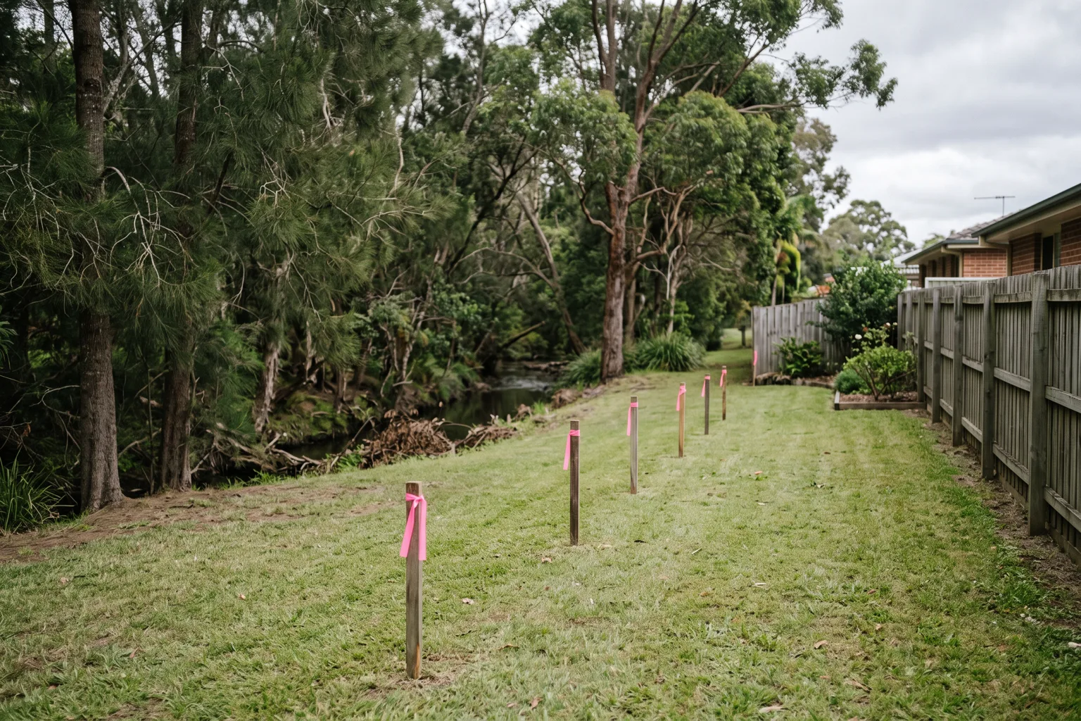
Stream order comes off the hydro line layer, using the smallest-scale topographic map available. On a first or second order line, the VRZ the department wants protected is narrower than the 40 metres of waterfront land the Act puts around it. That gap between the statutory trigger and the actual protection requirement is where the workable part of the site usually sits.
Half the buffer can move, if you offset it
The guidelines don't just fix a width and stop there. They let you use the outer 50% of the VRZ for things that aren't riparian works, such as an asset protection zone, a road, a recreational area or a development lot, provided you offset the disturbed area with an equivalent width connected to the riparian corridor somewhere else on the site. The inner 50%, the half closest to the bank, has to stay fully protected and vegetated with native, endemic riparian species. It isn't available for trading.
Certain works are allowed in the corridor without the offset at all: cycleways and paths under four metres of disturbance footprint, stormwater outlet structures and essential services (with directional drilling required on fourth order streams and larger), and detention basins either in the outer 50% or online, provided an online basin stays dry, holds no permanent water, and isn't used for water quality treatment. The department calls this the averaging rule, and it's meant to apply to land that's already cleared. Where a watercourse still carries native vegetation, the guidelines expect you to preserve it to the full Table 1 width rather than reach straight for the trade.
Everything in this section only governs the controlled activity approval. A riparian corridor that clears under the Water Management Act can still be constrained by an asset protection zone or a flood planning level sitting over the same ground, which is the overlap our piece on integrated development and referrals covers from the other side.
Fitting the matrix gets you a faster assessment
The riparian corridor matrix in the guidelines sets out, stream order by stream order, what's permitted in the VRZ: whether a road crossing can be a culvert or has to be a bridge, whether a detention basin can sit online or only in the outer 50%, whether stormwater and essential services can be tied to existing crossings or need directional drilling. A road crossing over a fourth order stream is judged far more conservatively than one over a first order line, and the matrix is where that distinction is actually spelled out.
The payoff for designing to the matrix is procedural. An application presented in line with the riparian corridor matrix and the department's other controlled activity guidelines gets a faster, lighter-touch assessment path, which the guidelines say can cut the time and cost of getting a determination. An application that doesn't conform still gets assessed, but through full merit assessment, and every application, either way, has to demonstrate that the proposed works will do no more than minimal harm to the waterfront land before an approval issues. Designing to the matrix from the outset is the difference between the two pathways, not a separate application type.
Most dwellings and dual occupancies don't need the approval at all
This is the exemption that changes the shape of the problem for a lot of owners, and it sits in Schedule 4 of the Water Management (General) Regulation 2018, summarised in the department's own controlled activity approval exemptions fact sheet.
Development for a dwelling house or dual occupancy building is exempt from needing a controlled activity approval, provided two things hold. First, the development has to be exempt development, or have a development consent, or hold a complying development certificate. The exemption rides on the planning approval you already need, not on a separate water approval. Second, the activity can't be carried out on or in the bed or bank of a river, the bed or shore of a lake, or the bed, or the land between the bed and the mean high water mark, of an estuary.
Read together, that means a second dwelling sitting within the 40 metres of waterfront land, but not on the bed or bank itself, and already covered by a DA or a CDC, doesn't trigger the controlled activity system on its own. It's the specific reason a lot of dual occupancy schemes near a creek line turn out to be more workable than the flat 40-metre figure suggests on paper, because the exemption does the work rather than a favourable stream-order finding.
A handful of other exemptions turn up often enough on residential sites to be worth knowing. Maintenance of an existing lawful building or structure is exempt, as long as the work doesn't add to or expand it. Repair after a storm event is exempt, within limits. Removal of vegetation is exempt if it's otherwise authorised, doesn't touch large woody debris, and doesn't disturb the soil or extractive material underneath. And where waterfront land relating to a minor or third order stream is already separated from the bed by a public road, a car park, a building, or a flood-approved levee bank, the activity behind that separation is exempt as well.
None of these exemptions remove the need to check whether the land is waterfront land in the first place, or whether some other instrument still applies to the same ground: bush fire, flood planning, or biodiversity. They only take the controlled activity approval itself out of the picture.
What this means for laying out a scheme
Work the numbers in this order. Confirm the watercourse exists and get its stream order off the hydro line layer, because that sets your VRZ width under Table 1, not the flat 40 metres. Check whether the proposed dwelling sits clear of the actual bed and bank, because that's the test the Schedule 4 exemption turns on. If the scheme still needs a controlled activity approval, work out how much of the outer 50% you can trade and where the offset goes before the designer locks in a footprint, because retrofitting an offset after the fact means re-siting whatever it was meant to protect.
None of this is a substitute for asking the department directly on a borderline site. The riparian corridor matrix in the guidelines covers more building types and stream conditions than fit in a blog post, and a pre-lodgement conversation is cheap next to a redesign.
PropertyThrive runs the waterfront land and riparian corridor check on every block we assess before any design work starts, because on a first or second order stream the VRZ is well inside the 40 metres of waterfront land, and that width decides how much of the block a scheme can use. If you'd like that run on your property, ask for an assessment and we'll come back to you within 24 hours.
Ready to get started with developing a property?
Get your development assessment or speak with our development experts today
24-Hour Response Guarantee
Submit your details and receive your preliminary development assessment within 24 hours, guaranteed.
No Obligation, Completely Free
Our assessment and initial consultation are completely free with no strings attached. Only proceed if you're 100% happy.
Strategic Development Partnerships
Partner with us to maximise development potential through joint ventures, profit-sharing, or direct acquisition options.